Logo

What is

RISK?

Resilient NJ Raritan River and Bay Communities used the results from the visioning process and shared priorities shared by the community to develop a flood impact assessment. See results below
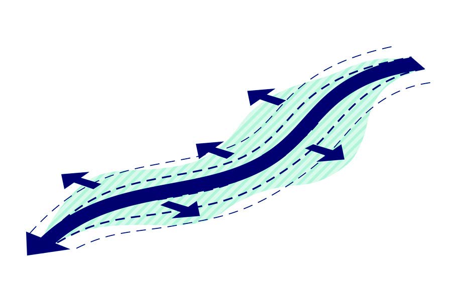
 

What is Risk?

Risk is the potential for a hazard to have negative impacts. For flooding, this means the potential for water to damage and disrupt our communities. Flood risk is the interaction between flood hazards, where people live, and the systems and structures that support our way of life. Risk increases when the hazard increases, such as by climate change, or when more people and their belongings appear in harm’s way. For instance, the more people affected or the more critical a system is, the higher the risk.

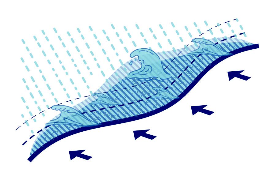
What Types of Flood Hazards Should We Be Concerned About?

The Resilient NJ Raritan River and Bay Communities are exposed to a variety of flood hazards. These hazards vary in terms of the source of flooding, affect different areas, and require different strategies to address them.

Coastal Storms:

Coastal storms create flooding due to waves and storm surge—a rise in water levels due to storm pressure and winds—which can also lead to coastal erosion. Coastal storms can also bring high winds and heavy rains. As we saw during Sandy, much of this region is threatened by coastal storms.

Rainfall Flooding:

Lower lying areas, both along waterways and inland, can flood due to heavy rain events overwhelming drainage infrastructure. This is an issue across the region today.

Tidal Flooding:

Low-lying coastal areas flood when water levels rise above ground elevation due to high tides. While today there are limited areas in the region that face this hazard, the lowest-lying coastal areas along the Raritan River, South River, and the Arthur Kill will be impacted in the future if nothing is done to address sea level rise.

Riverine Flooding:

This type of flooding occurs when rivers, streams, lakes, reservoirs, or canals overflow due to extreme rainfall or rapid snowmelt.

Joint Flooding:

Sometimes referred to as compound flooding, joint flooding is a combination of riverine and coastal flooding along tidally influenced rivers. While the Arthur Kill in this area is largely controlled by coastal flooding, joint flooding is an issue for the Raritan and South Rivers.

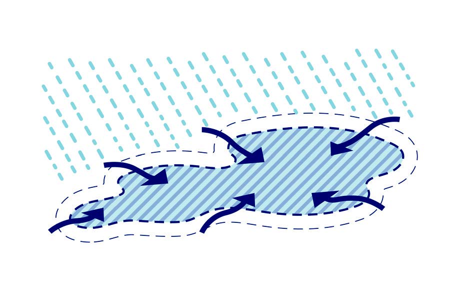
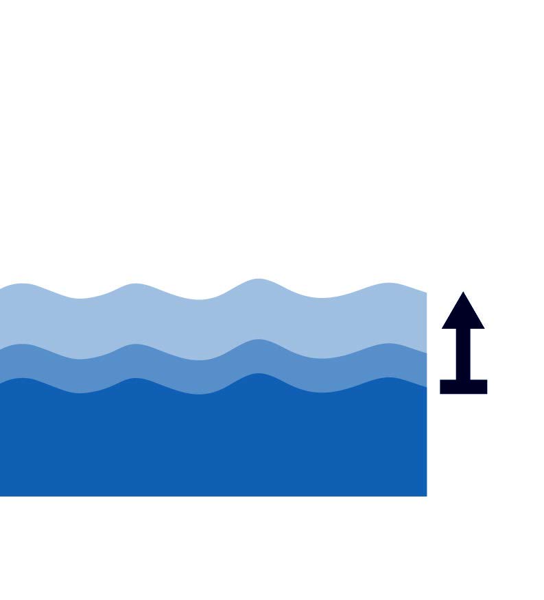
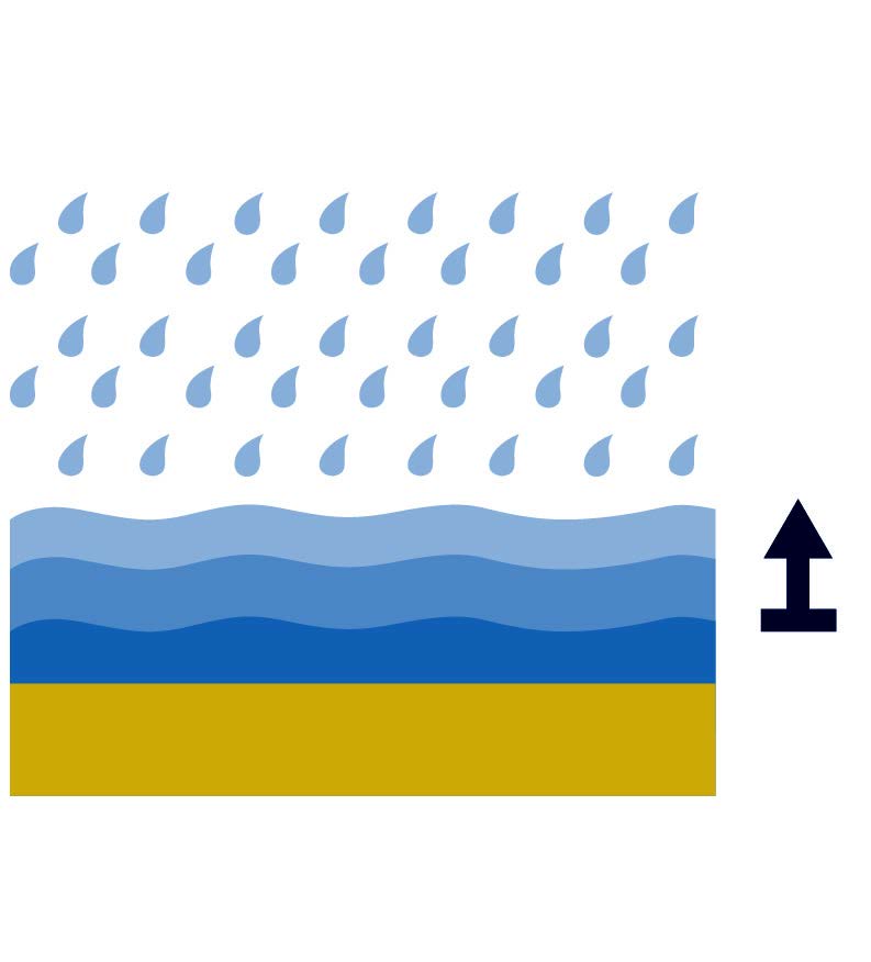
HOW WILL CLIMATE CHANGE INCREASE FLOOD HAZARDS?

The Raritan River and Bay Communities will be impacted by climate change in a variety of ways. This includes changes in everyday conditions, such as tides and average temperatures, as well as more frequent and severe coastal storms, severe rain events, and heat waves.

Sea Level Rise:

Sea level rise will increase the height of tides, leading to more tidal flooding and increasing water levels during a coastal storm. While climate research indicates that changes in ocean temperatures may lead to more frequent and stronger tropical storms, this impact is less predictable and harder to project.

Increased Precipitation:

Increased precipitation will lead to increased rainfall flooding and riverine flooding.

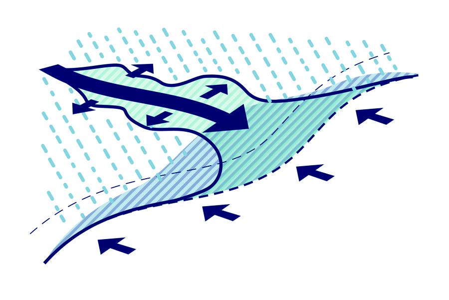
How can we understand the impact of flooding?

If nothing is done to protect the region from flooding, the impacts of flooding already seen in the RRBC region will increase with climate change.

If nothing is done to protect the region from flooding, the impacts of flooding already seen in the RRBC region will increase with climate change. Resilient NJ Raritan River and Bay Communities used the results from the visioning process and shared priorities shared by the community to develop a flood impact assessment. The assessment considered the people, buildings, and critical places in at risk from various sources of flooding over multiple scenarios. Click here to learn more about what is at risk

HOW CAN WE AFFECT THESE RISKS?

Each individual can have an impact on the level of risk in his or her community.

COMMUNITY PLANNING DECISIONS THAT DETERMINE HOW LAND IS USED WITHIN THE FLOODPLAIN CAN AFFECT FLOOD RISK.

Importantly, the everyday actions of people also can help reduce flood risk. Knowing the risk you face and developing a plan for what to do in a flood is an easy step that you and all the people in your community can take to reduce risk. Talking to your friends and neighbors and spreading information about flood risk can also make your community better prepared.

There are many possible solutions that can be implemented to address flooding.

We developed a toolkit of various solutions to help identify potential tools that we will draw on for the development of the scenarios.

For More Information:

on what you can do and what we are looking to do together through Resilient NJ Raritan River and Bay Communities.

Get Involved

Your input and involvement are critical to increasing the resilience of our communities. Opportunities to engage with the program will be updated periodically on the Get Involved page.


GET RESILIENT NJ PROJECT UPDATES!

You can easily stay in the loop with program progress by signing up for periodic email updates via this form.

EXPLORE OUR RESOURCE LIBRARY

The Resource Library contains our project reports, engagement materials, and other information about progress.

The Region Team

Logo Arcadis
Carteret Borough Seal
Logo Scape
Logo One
Logo Heyer, Gruel & Associates
Logo Irys
YMCA
Facebook
Twitter